Category:French Zone

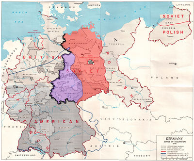
Despite its being one of the Allied Powers, the French Republic was at first not granted an occupation zone in Germany. Later, however, the British and American governments recognized the role of France during World War II in Europe, and agreed to cede some western parts of their zones of occupation to the French Army. This created a French zone of occupation in the westernmost part of Germany. It consisted of two barely contiguous areas of Germany along the French border that met at just a single point along the Rhine River. It included the Saargebiet, which was disentangled from it on 16 February 1946. By 18 December 1946 customs controls were established between the Saar area and allied occupied Germany. The French zone ceded further adjacent municipalities to the Saar (in mid-1946, early 1947, and early 1949). Included in the French zone was the town of Büsingen am Hochrhein, a German exclave separated from the rest of the country by a narrow strip of neutral Swiss territory. The Swiss government agreed to allow limited numbers of French troops to pass through its territory in order to maintain law and order in Büsingen
Subcategories
This category has the following 4 subcategories, out of 4 total.
B
G
R
W
Pages in category "French Zone"
The following 5 pages are in this category, out of 5 total.