Hódmezővásárhely (pronunciation: [ˈhoːdmɛzøːvaːʃaːrhɛj]) is a city (47,019 inhabitants end 2014) in south-east Hungary, on the Great Hungarian Plain, at the meeting point of the Békés-Csanádi Ridge and the clay grassland surrounding the river Tisza. Exonyms: Serbian: Вашархељ/Vašarhelj, Romanian: Ioneşti.
Loading map...
{"minzoom":false,"maxzoom":false,"mappingservice":"leaflet","width":"auto","height":"300px","centre":false,"title":"","label":"","icon":"","lines":[],"polygons":[],"circles":[],"rectangles":[],"copycoords":false,"static":false,"zoom":11,"defzoom":14,"layers":["OpenStreetMap"],"image layers":[],"overlays":[],"resizable":false,"fullscreen":false,"scrollwheelzoom":true,"cluster":false,"clustermaxzoom":20,"clusterzoomonclick":true,"clustermaxradius":80,"clusterspiderfy":true,"geojson":"","clicktarget":"","imageLayers":[],"locations":[{"text":"","title":"","link":"","lat":46.43,"lon":20.32,"icon":""}],"imageoverlays":null}
Postmark in Hungary
Postal code: 6800
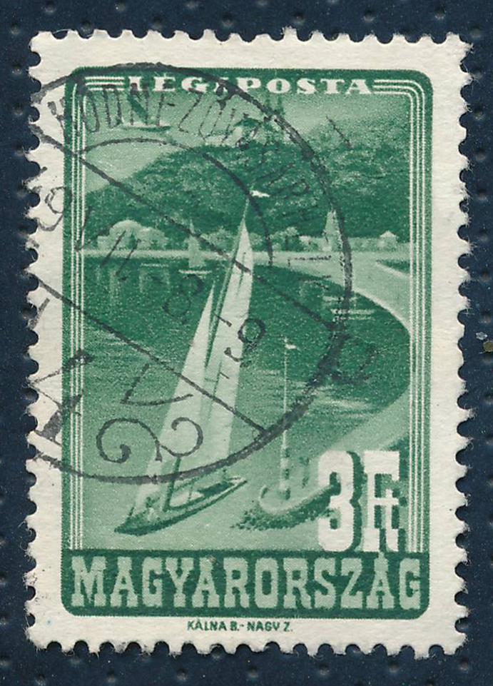 HODMEZOVASARHELY 4 in 1949 |
Kingdom of Hungary era (1867-1945)
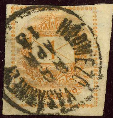
 Circle HOLD-M-VASARHELY on the 1871 first issue of Hungary |
|
 Circle HODMEZÖ VASARHELY in 1888. |
|
Austrian Empire Hungary Crownland
The post office (named HOLD MEZÖ VASARHELY) opened before 1850, and was dependent on Postal Directory Pest. Circle


_KH_b.jpg)
_KH_a.jpg)
_KH_c.jpg)
_AE_a.jpg)
_AE_b.jpg)