Loading map...
{"minzoom":false,"maxzoom":false,"mappingservice":"leaflet","width":"auto","height":"250px","centre":false,"title":"","label":"","icon":"","lines":[],"polygons":[],"circles":[],"rectangles":[],"copycoords":false,"static":false,"zoom":11,"defzoom":14,"layers":["OpenStreetMap"],"image layers":[],"overlays":[],"resizable":false,"fullscreen":false,"scrollwheelzoom":true,"cluster":false,"clustermaxzoom":20,"clusterzoomonclick":true,"clustermaxradius":80,"clusterspiderfy":true,"geojson":"","clicktarget":"","imageLayers":[],"locations":[{"text":"","title":"","link":"","lat":52.521,"lon":8.199,"icon":""}],"imageoverlays":null}
Damme is a town (16,872 inhabitants end 2015) in the district of Vechta, in Lower Saxony, Germany. It is situated approximately 25 km south of Vechta, and 36 km northeast of Osnabruck. Damme is currently assigned the post code of 49401.
Historically in the Grand Duchy of Oldenburg.
Postmark in Unified-Germany
Allied Occupied Germany
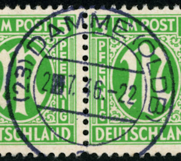 (23) DAMME (OLDB) a 2▍7.46.-22 |
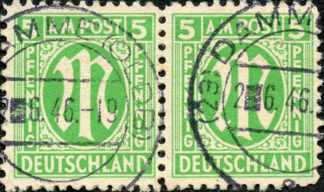 (23) DAMME (OLDB) a 2▍6.46.-22 |
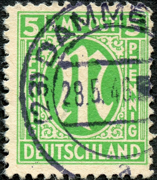 (23) DAMME (OLDB) a 28.5.46. |
Postmark in German Empire
Postmark in North German Confederation
Since 1 January 1868.
Postmark in Grand Duchy of Oldenburg
Cover
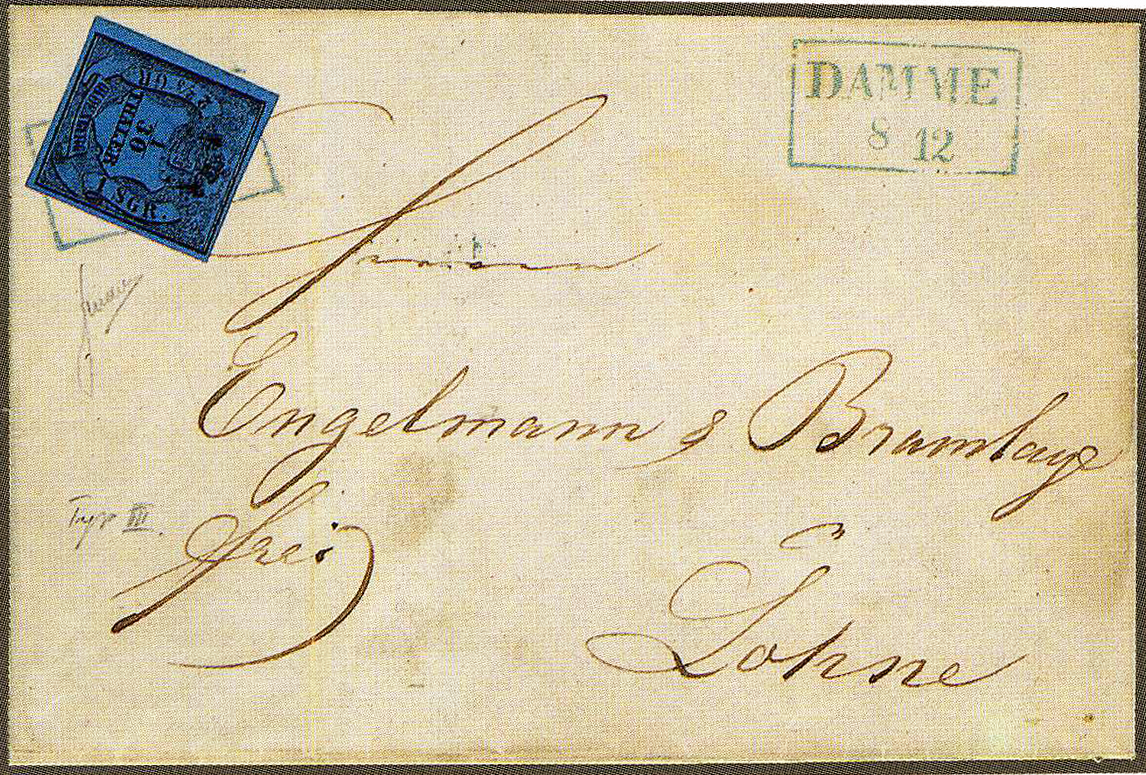 1/30th Thaler issue 1854. Cover from DAMME, blue frame, sold 120 SF in 1998. Michel 2III. |
A linear DAMME postmark is known before 1852.
_a.jpg)
_ao.jpg)
_ao_3.jpg)
_OLD_cover_a.jpg)

_b.jpg)
_DR_a.jpg)
_NPB_a.jpg)
_OLD_a.jpg)