Loading map...
{"minzoom":false,"maxzoom":false,"mappingservice":"leaflet","width":"auto","height":"200px","centre":false,"title":"","label":"","icon":"","lines":[],"polygons":[],"circles":[],"rectangles":[],"copycoords":false,"static":false,"zoom":12,"defzoom":14,"layers":["OpenStreetMap"],"image layers":[],"overlays":[],"resizable":false,"fullscreen":false,"scrollwheelzoom":true,"cluster":false,"clustermaxzoom":20,"clusterzoomonclick":true,"clustermaxradius":80,"clusterspiderfy":true,"geojson":"","clicktarget":"","imageLayers":[],"locations":[{"text":"","title":"","link":"","lat":48.7711,"lon":2.0333,"icon":""}],"imageoverlays":null}
Montigny-le-Bretonneux is a commune in the Yvelines department in the Île-de-France region in north-central France. It is located in the south-western suburbs of Paris, 24.5 kilometres (15.2 miles) from the centre of Paris, in the "new town" of Saint-Quentin-en-Yvelines, of which it is the central and most populated commune.
Read more @ https://en.wikipedia.org/wiki/Montigny-le-Bretonneux 2002
Postmark Examples
Meter cancels
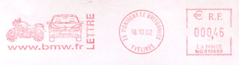 Meter cancel Montigny le Bretonneux 2002 |
_mc1.jpg)

_a.jpg)