Verden an der Aller, or simply Verden, is a town (26,854 inhabitants end 2013) in Lower Saxony, Germany, on the river Aller. It is the administrative centre of the district of Verden.
Loading map...
{"minzoom":false,"maxzoom":false,"mappingservice":"leaflet","width":"auto","height":"300px","centre":false,"title":"","label":"","icon":"","lines":[],"polygons":[],"circles":[],"rectangles":[],"copycoords":false,"static":false,"zoom":11,"defzoom":14,"layers":["OpenStreetMap"],"image layers":[],"overlays":[],"resizable":false,"fullscreen":false,"scrollwheelzoom":true,"cluster":false,"clustermaxzoom":20,"clusterzoomonclick":true,"clustermaxradius":80,"clusterspiderfy":true,"geojson":"","clicktarget":"","imageLayers":[],"locations":[{"text":"","title":"","link":"","lat":52.94,"lon":9.235,"icon":""}],"imageoverlays":null}
Verden currently is assigned post code 27283.
Postmarks in Unified-Germany
Postmarks in Allied Occupied Germany
 VERDEN (ALLER) *LAND* 5.5.46 |
|
|
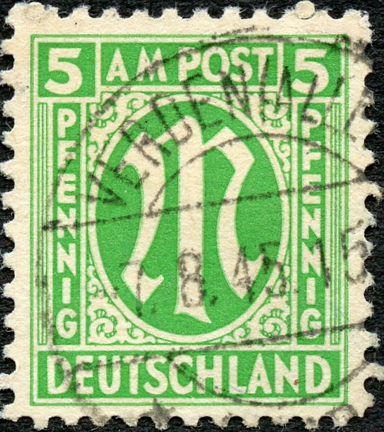 VERDEN (ALLER) *LAND* 7.8.45 |
Postmark in German Empire
Postmarks in North German Confederation
Since 1 January 1868.
Cover
 Linear VERDEN on a 1871 cover. Auction image. |
Postmark in Kingdom of Prussia
Since 1 October 1866.
Postmark in Kingdom of Hanover
Since 1814.
 Blue Antiqua DC 27,5 mm used in the 1852-1861 period. |
 Blue Grotesk DC 22 mm with stars used in the 1862-1866 period. |
Cover
 Cover to Nienhagen (Mecklenburg-Schwerin) with 1/10 Thaler, Antiqua DC used on 18 November 1856. |
Meter cancels
_ao4.jpg)
_ao.jpg)
_ao2.jpg)
_ao3.jpg)
_NPB_cover_a.jpg)
_HAN_a.jpg)
_HAN_b.jpg)
_HAN_cover_a.jpg)
_mc1.jpg)
_mc2.jpg)
_mc3.jpg)
_mc4.jpg)
_a.jpg)
_DR_a.jpg)
_NPB_a.jpg)
_PR_a.jpg)