Loading map...
{"minzoom":false,"maxzoom":false,"mappingservice":"leaflet","width":"auto","height":"200px","centre":false,"title":"","label":"","icon":"","lines":[],"polygons":[],"circles":[],"rectangles":[],"copycoords":false,"static":false,"zoom":12,"defzoom":14,"layers":["OpenStreetMap"],"image layers":[],"overlays":[],"resizable":false,"fullscreen":false,"scrollwheelzoom":true,"cluster":false,"clustermaxzoom":20,"clusterzoomonclick":true,"clustermaxradius":80,"clusterspiderfy":true,"geojson":"","clicktarget":"","imageLayers":[],"locations":[{"text":"","title":"","link":"","lat":51.816667,"lon":4.133333,"icon":""}],"imageoverlays":null}
Hellevoetsluis is a small city and municipality on Voorne-Putten Island in the western Netherlands, in the province of South Holland. The municipality covers an area of 46.27 km2 (17.86 sq mi) of which 14.71 km2 (5.68 sq mi) is water and it includes the population centres Nieuw-Helvoet, Nieuwenhoorn and Oude en Nieuwe Struiten, all former municipalities.
Hellevoetsluis is located on the Haringvliet with the sea, beach and dunes close by, on the extreme southern edge of the Rijnmond and Europoort areas, close to the broad Zeeland landscape. The name translates as "lock at the foot of the Helle". The Helle was a small local river which disappeared over time.
Read more @ https://en.wikipedia.org/wiki/Hellevoetsluis
Postmark Examples
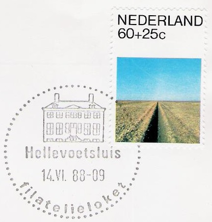 Postmark Hellevoetsluis from the filatelieloket (philatelic counter in the post office), 1988. |
Meter cancels
 Meter cancel Hellevoetsluis 1983 |
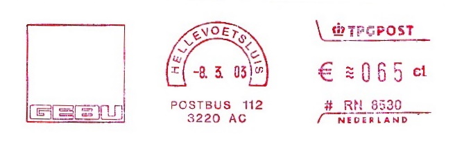 Meter cancel Hellevoetsluis 2003 |
_1872.jpg)

_b.jpg)
_1896.jpg)
_POS1.jpg)
_1902.jpg)
_1900.jpg)
_a.jpg)
_mc2.jpg)
_mc1.jpg)
