Suhl is a town (35,608 inhabitants end 2016) in Thuringia, Germany. Together with its northern neighbour-town Zella-Mehlis, Suhl forms the largest urban area in the Thuringian Forest. The region around Suhl is includes Thuringia's highest peak, the Großer Beerberg (983 m), approximately 5 km NE of the city centre.
Historically in the Prussian province of Saxony.
Loading map...
{"minzoom":false,"maxzoom":false,"mappingservice":"leaflet","width":"auto","height":"300px","centre":false,"title":"","label":"","icon":"","lines":[],"polygons":[],"circles":[],"rectangles":[],"copycoords":false,"static":false,"zoom":11,"defzoom":14,"layers":["OpenStreetMap"],"image layers":[],"overlays":[],"resizable":false,"fullscreen":false,"scrollwheelzoom":true,"cluster":false,"clustermaxzoom":20,"clusterzoomonclick":true,"clustermaxradius":80,"clusterspiderfy":true,"geojson":"","clicktarget":"","imageLayers":[],"locations":[{"text":"","title":"","link":"","lat":50.611,"lon":10.692,"icon":""}],"imageoverlays":null}
Postmarks in Germany
Postmarks in Empire of Germany
 Michel No. 417, 30 Pf, bridge "Suhl", 08-1930 |
|
|
Covers and cards
|
|
 Registered & censured cover to Switzerland, with 60 pfg (4 stamps) on 12 November 1919. |
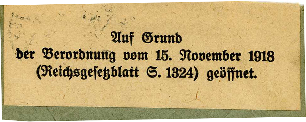 Censure basis text (law 15 November 1918). |
Postmarks in North German Confederation
Since 1 January 1868.
Postmarks in Prussia Saxony province
SUHL used a code 1470, Kreis Schleusingen, District of Erfurt.
Meter cancels

_DRBR_cover_b.jpg)
_DRBR_cover_c.jpg)
_mc1.jpg)
_mc2.jpg)
_mc3.jpg)
_mc4.jpg)
_a.jpg)
_DRBR_b.jpg)
_DRBR_c.jpg)
_DRBR_cover_a.jpg)
_NPB_a.jpg)
_NPB_b.jpg)
_PRSA_a.jpg)
_PRSA_b.jpg)